


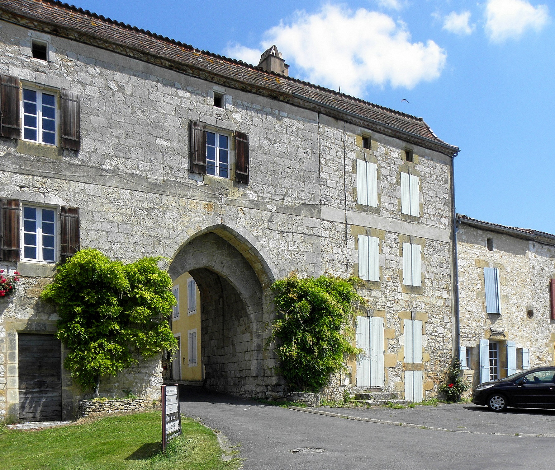
Photo: GO69, CC BY-SA 4.0, via Wikimedia Commons
Drive across this stretch of the Dordogne for long enough and you keep meeting the same shape: a town built square, streets running straight at right angles to each other, a market place boxed in by arcades and a church set slightly off to one side. This is not fashion or accident. It is the result of a deliberate building programme carried out across the southwest of France in the thirteenth and fourteenth centuries, and it left more of a mark on this landscape than almost anything else the Middle Ages produced here.
What exactly is a bastide
The word comes from the Occitan bastida, from the verb meaning to build. A bastide is a new town, planned and built as a single unit by one founder, rather than a settlement that grew organically over centuries. Most were raised in what was then Languedoc, Gascony and Aquitaine during the thirteenth and fourteenth centuries, though a handful of related new towns appeared in England and Wales in the same period. Some historians push the story back further still and count Montauban, founded in 1144, as the first of them. Almost seven hundred are recorded as having been built between 1222, when Cordes-sur-Ciel went up in the Tarn, and 1372, with La Bastide d’Anjou. French scholarship is more cautious and puts the true number nearer three to five hundred, spread across fourteen present-day departments, with a strong concentration in exactly the départements you are standing in and around: Lot-et-Garonne, Dordogne, Gers and Haute-Garonne.
Born out of crusade and treaty
Some of the earliest bastides replaced villages destroyed during the Albigensian Crusade. Raymond VII of Toulouse encouraged their construction to resettle his shattered domains and, just as importantly, to colonise land in the southwest that had never been properly farmed. The Treaty of Paris of 1229, which ended the crusade, allowed him to found new towns but explicitly forbade him to fortify them, which is why so many bastides began life without walls at all. When Alphonse of Poitiers inherited the county under the marriage arrangements set out in that same treaty, he used the founding of bastides as a tool of control, planting them across his enlarged territory.
The arrangement suited landowners as much as it suited settlers. A bastide generated revenue from taxes on trade and on dwellings, which was more reliable income than the tithes owed on produce. Families who moved into a bastide stopped being vassals of the local lord and became free men, which is one of the quieter reasons historians point to when explaining the slow decline of feudalism in this part of France. New arrivals were encouraged to farm the land around the town, which in turn drew merchants and regular markets, and the lord taxed both.
A charter, a plot, and a house within the year
The legal basis for all this was a paréage, a written contract between the landholder, who might be a group of local lords or the abbot of a nearby monastery, and a higher power: a count of Toulouse, a king of France, or, since this border region changed hands repeatedly, a king of England. A charter set out the franchises, or liberties, and the coutumes, or customs, that residents could expect. Feudal rights sat with the sovereign named in the charter, while the local lord kept a narrower role as enforcer of justice and go-between with the new inhabitants. Those inhabitants were usually required to build a house within a set time, often a year, and in exchange they received a houselot in the town, a kitchen garden plot known as a casale, and a strip of cultivable land, the arpent, out on the edge of the bastide’s holdings. The first town hall and the first church were commonly built in wood and only replaced in stone once the settlement had proved itself.
How to read a bastide’s plan
Once you know what to look for, a bastide reads almost like a diagram. Streets cross at right angles and divide the town into blocks, with a narrow lane often threading through the middle of each one. At the centre sits a market square, usually surrounded by arcade walkways, the couverts, under which stood a covered area for weighing and measuring goods. None of this was invented from nothing: the region had a long memory of Roman planning, visible still in towns such as Béziers, Narbonne, Toulouse, Orange and Arles, and the bastide builders were working in a landscape where the grid and the central forum were already a familiar idea.
Writing in the Art Bulletin, Adrian Randolph described the resulting town plans as shaped by «the friction engendered by interaction, expedience, pragmatism, legal compromise, and profit» rather than by pure geometric ambition. He also made the point that the block pattern was never a rigid mould stamped onto the ground, but something closer to «a net, thrown upon the site and adapting to its nuances», a plan that bends to fit the ground it was laid on rather than forcing the ground to fit the plan.
The square, and why the church stands apart
The central square was where markets were held, but also where political and social life happened, and Montauban’s square is usually treated as the model other founders copied. Most bastides have just one square: Saint-Lys and Albias are unusual in having two, one for the market and a separate one in front of the church. Builders generally chose the flattest available ground for it. Three basic layouts recur: a fully enclosed square untouched by any street, which is rare and best seen at Tournay; a single-axis plan where every road runs parallel and the square sits between two of them, typically fifty to fifty-five metres a side; and the grid layout proper, based on the Montauban pattern, where the square lies just off the main thoroughfare rather than being crossed by it.
The church almost never fronts directly onto the square. It is usually set at an angle, facing the square diagonally rather than square on to it. Villefranche-de-Rouergue is one of the few exceptions, and even there the church was built two centuries after the square itself, which rather proves the rule.
Streets, alleys and house plots
Rules governed the houses too: façades had to line up along the street, with a small gap left between neighbouring buildings, and plots were kept a standard size, commonly around eight metres by twenty-four. The number of plots in any one bastide varied enormously, from as few as ten up to three thousand at Grenade-sur-Garonne. The main streets, wide enough for a cart, ran six to ten metres across and followed the house fronts; narrower cross streets measured five to six metres; and the service lanes cut behind the plots could shrink to as little as two to two and a half metres, just enough for a person on foot. A small bastide might have a single street, while a fully developed grid usually ran to between four and eight.
Why the walls came later
Because the Treaty of Paris had forbidden fortification, and because the early decades of aside-building were a relatively peaceful time, most of these towns went up without walls at all. Fortifications, where they exist, were added later, paid for through a special tax or through labour the townspeople owed the project. Libourne is the often-told example: about ten years after the town was founded, residents asked for funds to build walls, then spent the money making the town more handsome instead. That gamble did not always pay off. When the Hundred Years’ War began, a number of still-uncalled bastides were destroyed, while others scrambled to raise stone defences in time.
Why so many ended up in the Dordogne
The grid plan had a practical advantage beyond neatness: it made a town taxable module by module, block by block, which suited the sovereigns and lords who financed these ventures. Most bastides were built in the Lot-et-Garonne, Dordogne, Gers and Haute-Garonne, largely for reasons of altitude and soil quality, which is why this corner of the Périgord, covered in our guide to the Four Périgords, has so many surviving examples within a short drive of each other. The two names that travel furthest today are Andorra la Vella and Carcassonne, though the biggest by population has always been Villeneuve-sur-Lot, literally the new town on the river Lot.
Bastides within reach of the tower
Monpazier, about 42 kilometres away, is the one most visitors head for first. It belongs to the Les Plus Beaux Villages de France association, and since 2019 has also held the Ville et Métiers d’Art designation, awarded for the number of working artisans still based there. It is as complete a grid, square and arcade as you will find in the Dordogne.
Beaumont-du-Périgord, roughly 29 kilometres from the tower, is a quieter stop. It was known simply as Beaumont until 2001, and since 2016 has been part of the larger commune of Beaumontois-en-Périgord, but the bastide plan at its centre is still there to be read.
Eymet, about 44 kilometres away in the arrondissement of Bergerac, sits at the far southern edge of the department, in the canton that carries its own name. Recent censuses put its population at a little over 2,600. Eymet is also known today for its large British community, who make up roughly a quarter of the population, a reminder that a bastide’s charter of liberties for incomers is, in its own way, still being renewed. It makes a natural pairing with a day around Bergerac’s old town and river port, given how close the two sit together.
Planning a day among the bastides
None of these towns need a special occasion. A market morning, when the arcades are doing the job they were built for, is the best time to see how a bastide square actually works. Details such as museum hours or market days shift from year to year, so it is worth checking directly with the town or tourist office before you set off. For where each of these places fits into a wider trip from the tower, our guide to the region lays out the driving distances, and you can find practical detail on staying here on the page about the tower itself.
Good to know
What makes a town a bastide rather than just an old French town?
A bastide was planned and built as a single unit by one founder, usually on a grid of streets around a central market square with arcades, and set up under a charter granting settlers specific liberties. An old town that simply grew over time, without that founding plan and charter, is not counted as a bastide.
Why are there so many bastides in this part of the Dordogne?
Most bastides were built in the Lot-et-Garonne, Dordogne, Gers and Haute-Garonne departments, largely because of the altitude and soil quality of the land, and because this region saw heavy building activity between the end of the Albigensian Crusade and the start of the Hundred Years’ War.
Which bastide towns can I reach easily from the tower?
Monpazier, around 42 kilometres away, is the fullest example nearby. Beaumont-du-Périgord is about 29 kilometres away, and Eymet, near Bergerac, is roughly 44 kilometres away.
Sources
More about the region
The Four Périgords: Noir, Blanc, Vert and Pourpre Explained
Périgord is not one place but four, each with its own colour, its own soil and its own…
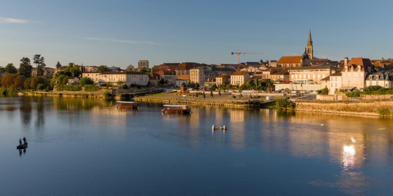
Bergerac: The Old Town, the River Port and Cyrano
Bergerac sits on the Dordogne about 22 km from the tower, a working river town with an old…